COLLECTION NAME:
Fire and Smoke Image Gallery
Record
Title:
Fires in California
Creator:
NASA
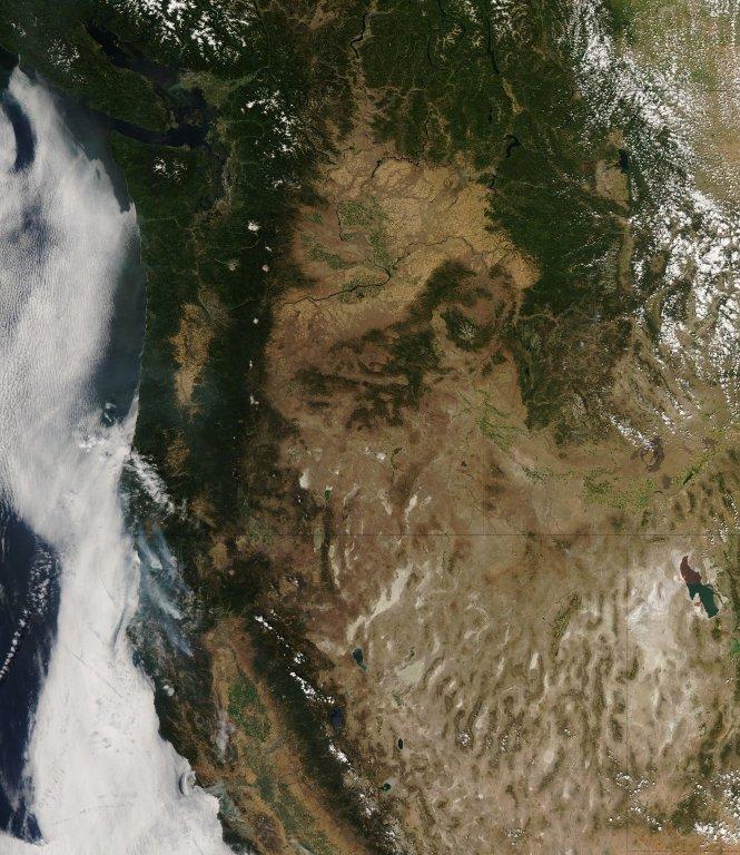
Description:
A combination of smoke and clouds obscured the Coast Ranges of Northern California on August 14, 2008, when the Moderate Resolution Imaging Spectroradiometer (MODIS) on NASA's Aqua satellite passed over the area and captured this natural-color image. Places where the sensor detected active fire are outlined in red. According to the morning situation report from the National Interagency Fire Center on August 15, 2008, the three fires labeled in this image were affecting nearly 200,000 acres. Fires have been burning in the area since the first week of summer, when thousands of lightning strikes occurred during intense thunderstorms. Image credit: NASA/MODIS Rapid Response TeamText credit: NASA/Earth Observatory
Date:
8/15/08
Identifier:
266863main_cafires_AMO_2008227_lrg_full
MediaType:
Image
MediaType:
Image
Year:
2008
What:
Aqua
Where:
California
Link To Source